
What is GIS?
GIS stands for geographical information systems and is a tool that allows for the recording, visualisation, manipulation and analysis of geographical information. GIS is anything from the creation of basic maps to the management of spatial information databases to sophisticated geospatial analysis.
What kind of stuff can you do with GIS?
GIS is utilized by more than just the field of geography. It is used in a broad range of disciplines, including health and safety, natural sciences, engineering, planning, and so on. For example, in 1854 London, John Snow (not of Game of Thrones) used a pre-computer method of GIS analysis by mapping patterns and occurrences of cholera outbreaks in Soho. He mapped the deaths in the neighbourhood and determined a vast majority occurred around one particular water well and that those that died used that well. Later it was found this well had been dug three feet from a local cesspit. Prior to his discovery, John Snow, like everyone else, believed the outbreaks were due to “bad air”, but instead helped introduce the theory of germs. See, John Snow eventually did know something.
How does Boobook use GIS?
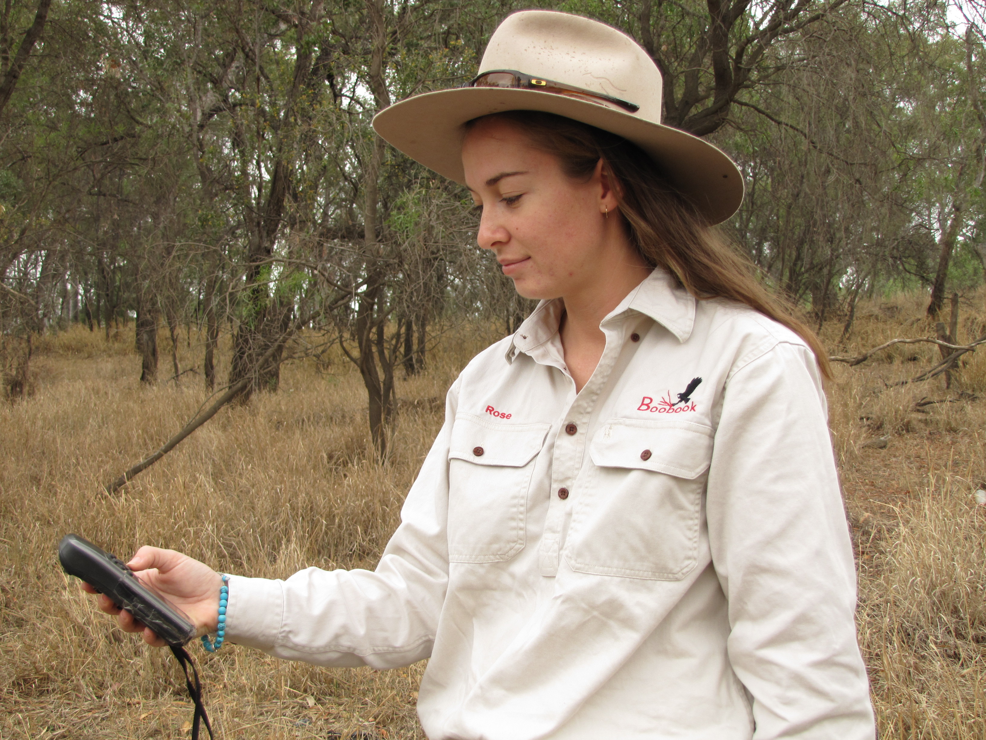
We use GIS at Boobook as they relate to and support our primary services of ecological assessment and fauna spotting in three primary ways:
- First before we travel out into the field, we orient ourselves with the environment we’re surveying—What is the layout of the area, what kind of ecosystems or habitat might we see, are there important water or land features, etc.
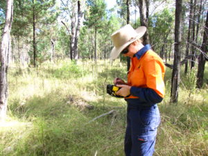
- Secondly, when we’re in the field, we need to record as much information as practical, including positional data, so we use GPS to track where and when we find critters, plants or vegetation.
- Lastly, after a survey, we map and present the data within our reporting. If our work is done for, say, development of a well, we’ll then ask the question, How might our findings affect the development and how might the development affect what we’ve found?
During Boobook’s Ecotours we use more maps and navigational skills rather than depending on a digital GIS device. Our guides are very knowledgeable and have spent many hours in the areas you will be exploring.
If someone were interested in learning how use GIS, how would they go about it?
Generally, GIS is done using a computer-based application, such as ArcView or MapInfo. There are free applications out there, such as QGIS and SAGA that allow for a casual user to engage in GIS. To learn how to use GIS, you can engage through university or online classes or through some jobs. For example, surveyors, geographers and environmental engineers use GIS extensively. But ultimately comes down to having an interest in the physical and spatial world (otherwise known as maps) and finding the means to apply that interest.